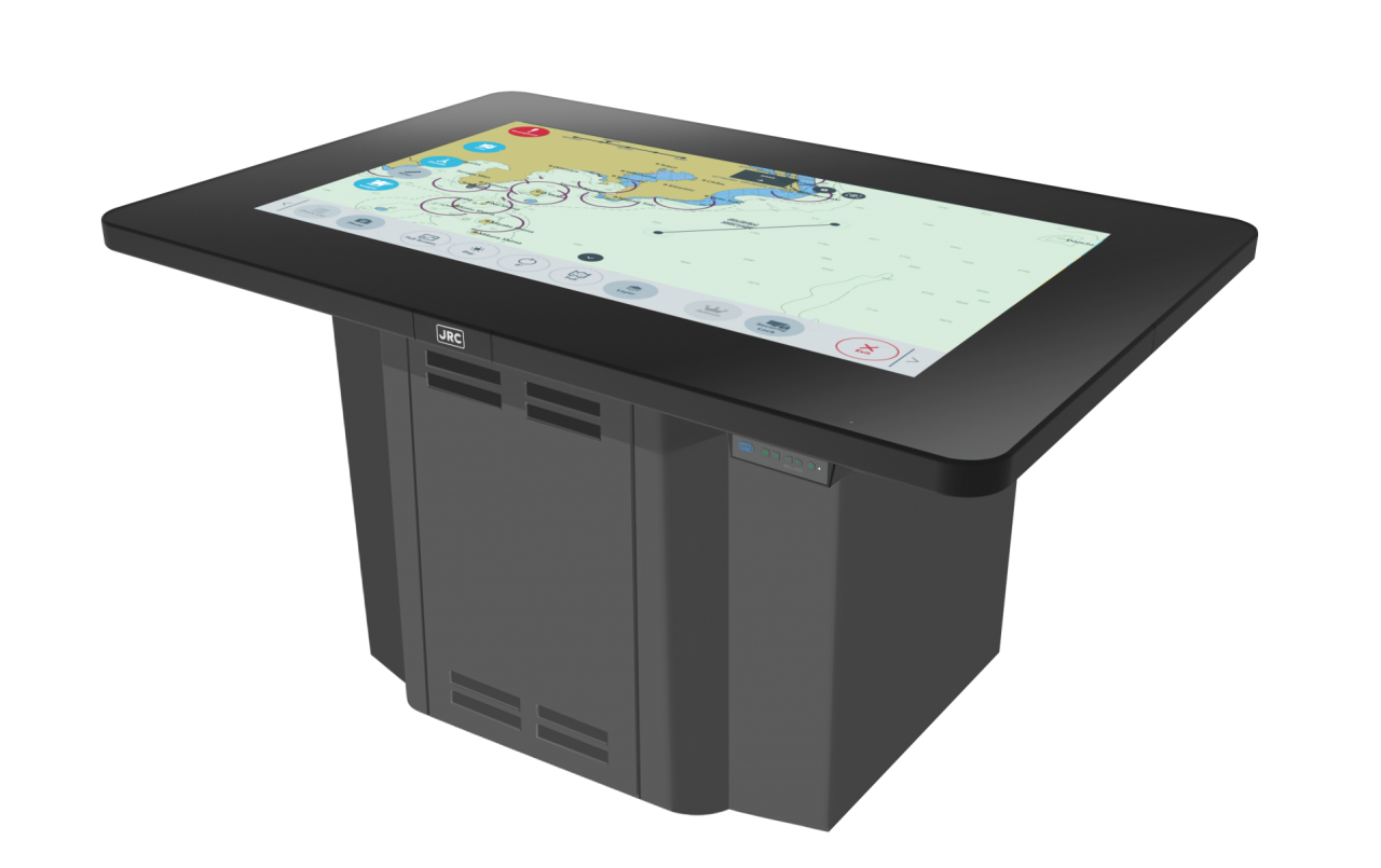
Electronic chart table
- Handwrite on electronic charts
- Simple route planning with intuitive user interface
- Weather/meteorological info overlay/routing
- Share routes/usermaps including handwriting with ECDIS

DESCRIPTION
JRC, a world leading electronics producer specialized in marine product and solutions, has developed a platform to support the digitalization process onboard ships. Cloud function and application services developed by JRC opens a new era of navigational information management, providing more efficient and safer operation.
The Navigational electronic Conning Station Table (NeCST) combined with our proprietary J-Marine Cloud will significantly enhance the operational tasks of officers onboard and provides a total solution for safe and secure smart navigation management. With our cloud services, it enables officers to share navigation information, such as assured routes and unavailable information on charts as well as and port information (photos, notes, etc) between ships and ships and ships and offices. It also increases your level of safety onboard as you will be able to share information of your vessel with the office in real-time at emergency situations. Think of fire, hull damage and oil spill by collision, piracy, grounding and injuries.
Create routes on the same paper chart scale you are used to, but now fully digital on a 46-inch touch display using your fingertips. Interaction with the large display is just as on your mobile phone, clicking, pinching, dragging and even remarks can be added to the chart by handwriting. Routes can be created with usermaps, but also with a stylus pen or divider. The ultimate form of simple route planning.
Today using weather information at routeplanning stage is often a manual and devious process. With the NeCST you have directly weather and meteorological info at hand to easily create the most optimized route, ensuring safety of vessel and crew and enabling more economical (fuel save) navigation. During the voyage you can easily add or remove waypoint and directly transfer to the ECDIS. We are even working on the possibility to plan a route from shore which will be accessible from J-Marine Cloud onboard.
With the NeCST available for navigation, captain and officers can dramatically improve bridge operation by managing tasks more efficiently. With just a few finger touches you can add dedicated (or custom) stickers on the chart. This “template” function is based on navigational routine work such as approaching or leaving the harbor.
DOCUMENTS